Category Archives: Maps

WHAT A DIFFERENCE A QUARTER OF A CENTURY MAKES…

Here at Tallyriffic Towers, we are lucky enough to have access to tallies going back as far as the 1980s in some cases. This allows to do some interesting comparisons – such as the swing between Pat The Cope Gallagher’s vote in 1992 in the old Donegal South-West and the Venerable Gentleman’s vote in Donegal this year.

Drop us a line if you have any old tallies you can send us…. Continue reading WHAT A DIFFERENCE A QUARTER OF A CENTURY MAKES…
MACLOCHLAINN OUT OF LUCK – OR VOTES? (pt 2)

Overall the two Dohertys took around 4100 of the 9600 Sinn Fein votes in the old Donegal North-East (the Google Earth screenshot below shows Padraig Maclochlainn’s share of the Sinn Fein vote in the old Donegal North East) – by contrast MacLochlainn only took 200 of the 10200 party votes in the old Donegal South-West. A case could be made that Pearse Doherty’s significant national media presence might explain his getting votes in the old Donegal North-East, but surely – given his similarly prominent media presence – you would then expect MacLochlainn to be picking up a noticeable tally of votes across the old Donegal South-West. Continue reading MACLOCHLAINN OUT OF LUCK – OR VOTES? (pt 2)

RISE OF THE PLANET OF THE AAA-PBPS

After the 2011 Election, Sinn Fein seemed set to dominate the Tallaght vote and quite possibly take 2 out of the 5 seats in the new Dublin Sth-West.

However their failure to win the by-election in 2014 telegraphed that their dominance was far from assured – although even that result failed to presage that their vote in 2016 would in fact slip back from their 2011 vote (they took 17% in the old South-West constituency area in February versus 20% in 2011). Continue reading RISE OF THE PLANET OF THE AAA-PBPS

Cork North-West Maps now available….

Tally Maps for the Cork North-West Constituency are now for sale on www.tallyrifficmaps.com

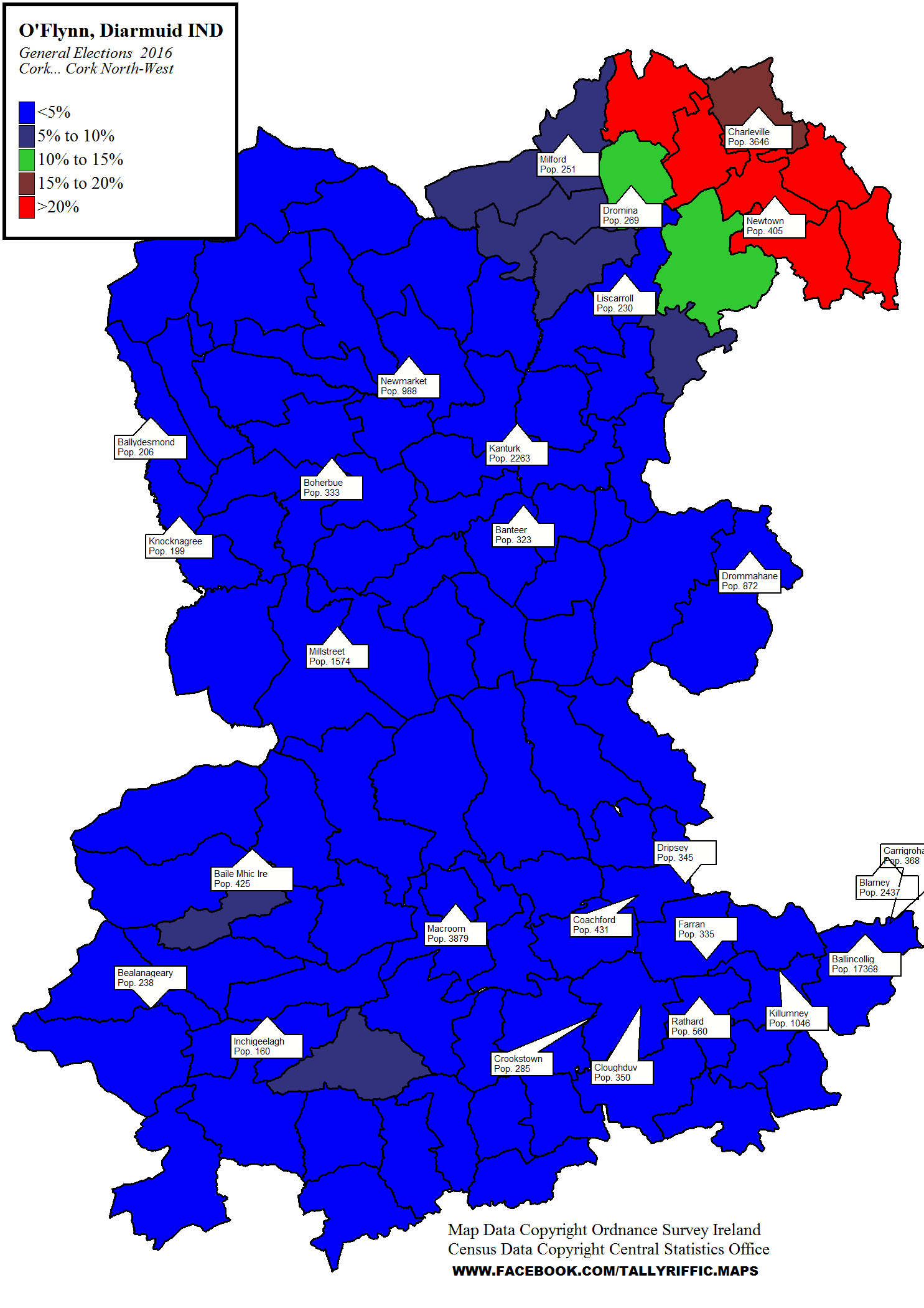
Each package contains a map – an example of which is shown below (Diarmuid O’Flynn’s share of the vote)

CorkGeneral Elections 2016Cork North-WestO'FlynnDiarmuid

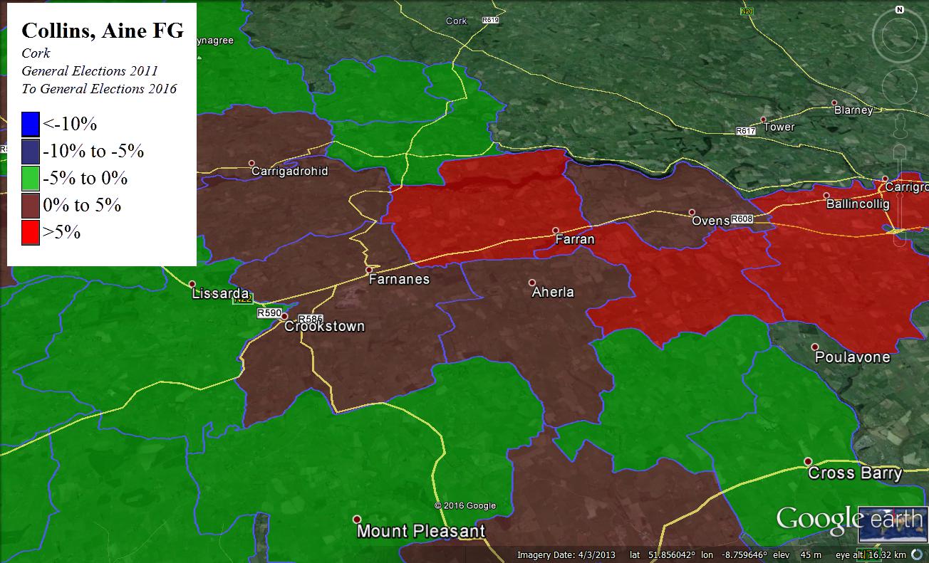
Each package also contain several Google Earth screenshots which focus on particular areas of the map and show the geographical areas underneath – the example is one of the Screenshots of the swing in Aine Collins’ vote since 2011.

AC Swing 3

Finally each package contains a spreadsheet showing how the vote was cast in each polling station.

There are also “Mega” packages of multiple maps with per unit discounts….

SCENES FROM THE CLASS STRUGGLE IN DUBLIN STH-CENTRAL

SCENES FROM THE CLASS STRUGGLE IN DUBLIN SOUTH-CENTRAL

Dublin South-Central is a predominantly working-class constituency – two-thirds of voters live in areas here where less than 30% of the Households are headed by a middle-class earner – but there were significant differences between how working-class areas and middle-class areas voted.

For instance in mainly working-class areas (ie less than 30% of middle-class Household heads), Sinn Fein took 28% of the vote, Independents For Change (Joan Collins) took 17%, Fianna Fail and People Before Profit took 12% each, and Fine Gael were fifth with 10%. Labour took 6%.  Continue reading SCENES FROM THE CLASS STRUGGLE IN DUBLIN STH-CENTRAL

IS MICHAEL’S FLAG BEING LOWRYIED?

IS MICHAEL’S FLAG BEING LOWRYIED?

The Answer? Slightly. But probably not a lot.

In 2011, Lowry got 14,104 votes in the old Tipperary North. Of these. roughly 2,000 (according to the tallies, which understated Lowry’s vote by just over 400) were cast in the area (South Offaly and North-West Tipperary) that has gone into the new 3-seat Offaly constituency.

This left Lowry with just under 12,000 votes in the remainder of North Tipperary (about 11,700 according to the tallies – note caveat above). This time Lowry took roughly 9700 votes in the Old North Tipperary – though half of this drop was due to a reduction in the turnout from about 75% to about 69%, Continue reading IS MICHAEL’S FLAG BEING LOWRYIED?

Dublin Bay South Maps now on sale….

Maps for the Dublin Bay South are now for sale on the main site.

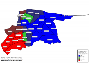
Each package contains a map – an example of which is shown below (Kate O’Connell’s share of the Fine Gael vote).DublinGeneral Elections 2016Dublin Bay SouthO'ConnellKateOfParty


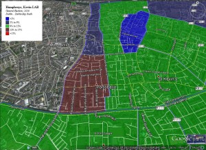
Each package also contain several Google Earth screenshots which focus on particular areas of the map and show the geographical areas underneath – the example is one of the screenshots of Kevin Humphreys’ vote.

DBS Kevin Humphries 3

Finally each package contains a spreadsheet showing how the vote was cast in each polling station.

Republic of Kelly??

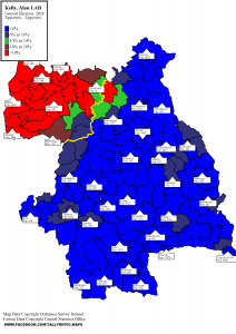
The Candidates in Tipperary were obviously running in the Constituency of, well, Tipperary but looking at Alan Kelly’s tallies a casual observer could clearly be mistaken for thinking that the ebullient Minister for Housing was in fact running in the 1-seat constituency of Nenagh-Newport.

Alan Kelly's vote in Tipperary...
Alan Kelly’s vote in Tipperary…

As can be seen in the following map, rather than trying to keep all the people happy at least some of the time, Alan Kelly seems to have chosen Continue reading Republic of Kelly??